+7 (812) 645-08-06
SIG analysis software / cartography - Bentley Map
 The Bently Map is a 3D GIS mapping software-based program that addresses the need and challenges of an organization that requires planing, mapping, building, designing and operating infrastructures. The Multiple data types plus fluctuating coordinate systems that are altered while in motion are integrated into the Bently Map.
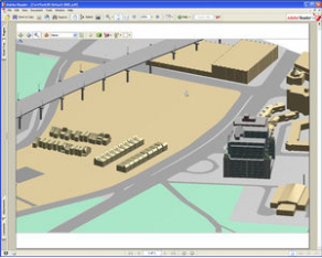
 The Bentley Map provides direct editing for the Oracle Spatial Databases plus total maintenance of topology. The enhanced MicroStation provides powerful precision handling in maintenance, analysis and geo-spatial data creation. Users will be able to easily integrate data from multiple sources into mapping and engineering workflows.
Along with the wide array of applications with this program, it can also publish i-models for map mobiles, and analyze data with 2D and 3D formats.