+7 (812) 645-08-06
Web-enabled 3D point cloud visualization software - Leica TruView & Cyclone PUBLISHER
 The first aspect that makes this piece of software stand out is its ease of use, both with local files or via the Web. TruView by Leica is used by many professionals who want to easily measure and view laser scan data, but the software does not require its users to be experts in laser scanning to make this possible.
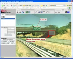
With the help of this program, users can pan over, zoom in or view point clouds in an intuitive and natural manner. In addition to clear visualization, users can also extract real 3D coordinates and measure distances accurately through the Easy Measuring and Markups feature. Finally, the two viewer approaches, panoramic and bubble, make the image realistic and give the impression of standing right where the images were captured.